+91-1902-252182, 253050, 252750, +91-9816023004 info@himalayanadventuresindia.com, roopunegi@gmail.com

Bara Bangal Trek

0
Price
Price
Full Name*
Email Address*
Your Enquiry*
Save To Wish List

Adding item to wishlist requires an account

6171

Why Book With Us?

  • No-hassle best price guarantee
  • Customer care available 24/7
  • Hand-picked Tours & Activities

Get a Question?

Do not hesitate to give us a call. We are an expert team and we are happy to talk to you.

+91-1902-253030, 252182, +91-9816023004

info@himalayanadventuresindia.com

Max People : 28
Tour Details

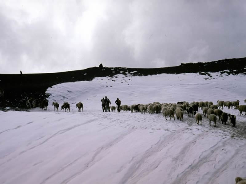
A remote and isolated village, Bara Bangal is open only for four or five months of the year. The inhabitants are the legendary Himalayan shepherds – the Gaddis – who lead a nomadic life, herding their flocks of sheep into high mountain pastures once the snow melts and then returning to their isolated existence in the village.  One has to cross two high passes the Kalihani Over (4725 mts ) and the Thamsar pass over 4800 mts .

Itinerary

Day 1:MANALI to LAMADUGH (3000mts) 4 hrs:

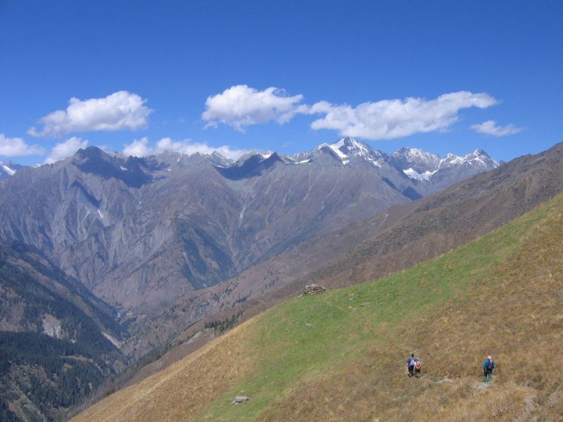
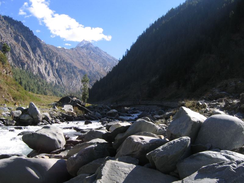
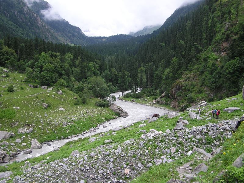
The first day of the trek goes through cool forests of giant deodar (cedar), alder and oak. The trail climbs gently at first through the Manalsu valley along the Manalsu torrent. Extensive views of the Kullu Valley appear and slowly fade into the distance as the degree of the gradient decreases; the gentle slope of the first campsite in the lush green meadows of Lamadugh is reached. From here beautiful views of the surrounding peaks open up.

Day 2:LAMADUGH to RIALI THATCH (11,200 ft/3,414m) 5 hrs:

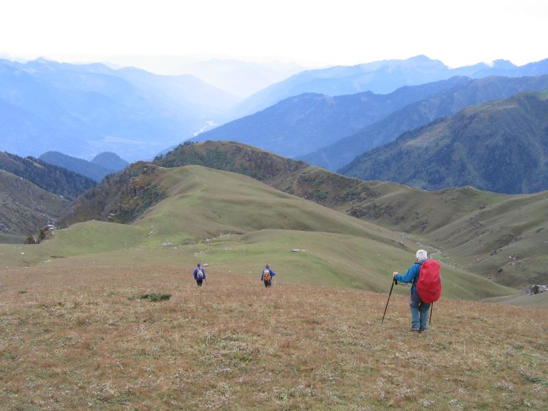
The trail now begins to ascend steeply through woodland and meadow, with wild alpine flowers strewn all around. On the way brilliant shrubs of Rhododendron and Birch pave the way to the ridge, looking out across spectacular peaks, after which a descent leads to the campsite at Dohra Nallah.

Day 3:RIALI THATCH to base of KALIHANI PASS (15,550 ft/4,725m) 4 hrs:

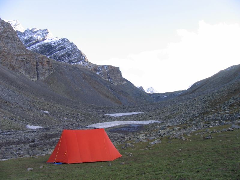
A lovely walk through lush green forests to the campsite at the base of the Kalihani Pass (15,500 feet/4,725 m). The campsite itself is at an elevation of 13,200 feet (4,023 m). The mountain peaks of the Kullu and Lahaul valleys are visible throughout.

Day 4:KALIHEYNI PASS to MEADOW CAMP(4050 MTS) about 4 hrs walk to cross the pass - 8 to 9 hrs:

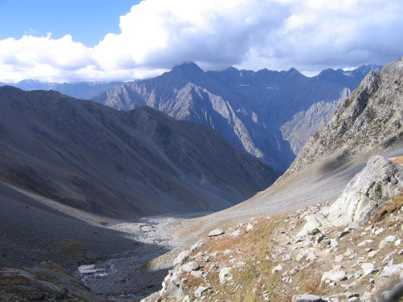
The landscape slowly begins to change as forests and meadows give way to rocky outcrops with patches of snow starting to appear. A rather steep climb through glacial debris and snow leads to the top of the pass, from where breathtaking views are available. After a brief halt a descent through glacier and moraine leads to the campsite on the banks of a sparkling mountain stream.

Day 5:CAMP to GADDI THACH (11,300 ft/3,577m) 4 hrs:

The trail now leads down into the Sunni River Valley and up to the buff overlooking the river. Camp is set at Gaddi Thach.

Day 6:GADDI THACH to LAMBAPAD (3780MTS) 4-5 hrs:

Leaving this lovely campsite, the path winds through rocky terrain soon replaced by meadows again. The river rushes through spectacular gorges and is crossed via a snow bridge. Forests begin to appear and soon the campsite, with an abundance of dry wood next to a sparkling stream is reached.

Day 7:LAMBAPAD to BARA BANGAL (7,500 ft/ 2,286 m) 5-6 hrs:

The trail now winds its way down towards the valley floor, after which an almost level walk leads to the camp just before the tiny ancient village of Bara Bangal.

Day 8:REST DAY:

A remote and isolated village, Bara Bangal is open only for four or five months of the year. The inhabitants are the legendary Himalayan shepherds – the Gaddis – who lead a nomadic life, herding their flocks of sheep into high mountain pastures once the snow melts and then returning to their isolated existence in the village.

Day 9:BARA BANGAL to UDAG (4000MTS) 6-7 hrs:

A steady climb, with the scenery changing quite dramatically and the air gets cooler, leads to the campsite at Marhi, at the base of the Thamsar Pass. The evening chill is replaced by the comfortable warmth of a lively campfire.

Day 10:UDAG to PANHARTU (4000MTS) over THAMSAR PASS (15,750 ft/4,800 mts) 7-8 hrs:

A long walk today. The trail slowly emerges from the rocky terrain into the softer landscape of lakes, meadows and forests. Numerous lakes dot the countryside, interspersed by cascading waterfalls. A descent through green wooded slopes leads to a tiny tea shop and a while later, to the tiny village of Palchak. Camp nearby.

Day 11:PANHARTU to RAJGUNDA (2500MTS) 6 hrs:

A very pleasant day’s walk through a leafy bridal path and soon tiny villages, seemingly hanging on the shoulders of the hillsides, make their appearance. Camp is set near the small village.

Day 12:RAJGUNDA to BILLING -3 hrs:

The bridal path leads to Billing. On the way extensive views of the lush green Kangra Valley open up. From Billing drive to Dharamshala (Drive is about 3 hrs and 30 minutes)

Photos
Things to know

What to bring for the trek
Good Warm internal clothing (woolen and fleece, thermals), water proof and wind proof clothing, Comfortable hiking boots with good resistance against the snow and water with a good grip, haversack,  sandals, walking sticks, gaiters, woolen/tennis socks (quite a few pairs) and stocking, gloves, cap, sunglasses (very important), Sunscreen lotion, day sack, camera and binocular (OPTIONAL),  water bottle, torch and batteries, though the water is very clean and pure and we do provide boiled water once you are in trek  still in order to be extra careful you can get few chlorine pills as mountain water is supposed to be hard.

Climate
Day temperature in the sun is pleasant but windy but nights are cold. The temp at night in rain and snow can really go down; sometimes below zero so you have to be well prepared.

Trek logistics/Services provided during the trek
Accommodation in two men tent (high altitude alpine tents of good quality), heavy foam pad mattress, sleeping bags, Breakfast/tea, all meals (good quality food), services of experienced guide and cook, all the camping equipment, utensils and crockery, kitchen tent, and toilet tent, ponies or porters, adequate medical kit, Transportation during the Trek.

Note
It is also possible that a route change may become necessary due to weather, inaccessibility through the mountain passes due to heavy snow, condition of the trail and physical fitness of the clients.

9 travellers are considering this tour right now!