+91-1902-252182, 253050, 252750, +91-9816023004 info@himalayanadventuresindia.com, roopunegi@gmail.com

Rupshu Trek

0
Price
Price
Full Name*
Email Address*
Your Enquiry*
Save To Wish List

Adding item to wishlist requires an account

5667

Why Book With Us?

  • No-hassle best price guarantee
  • Customer care available 24/7
  • Hand-picked Tours & Activities

Get a Question?

Do not hesitate to give us a call. We are an expert team and we are happy to talk to you.

+91-1902-253030, 252182, +91-9816023004

info@himalayanadventuresindia.com

Max People : 28
Tour Details

Season: – Mid July to Mid September
Trek   Days : – 13 Days
Region: – Lahaul, Ladakh and Rupshu Valley

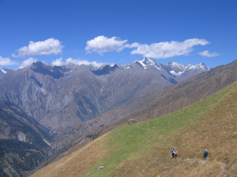
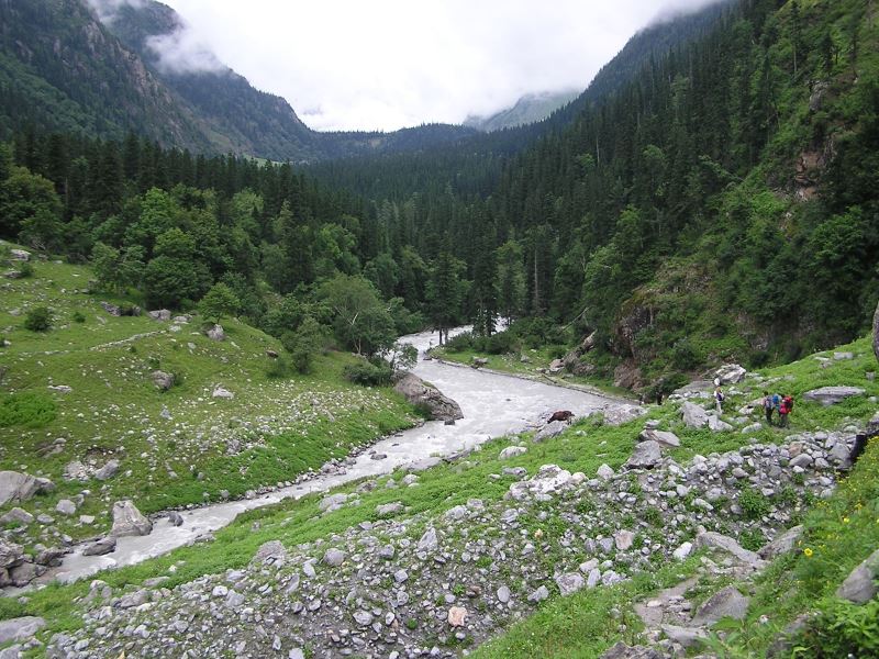
Rupshu is a high altitude desert in the middle of Himalaya on the Tibetan Borderland. Previously closed to the visitors, this region offers some of the most amazing scenery to be found in Ladakh. Lying beyond the great Himalayan range, which blocks the rain carrying winds. This barren and moon like region has very few inhabitances. The harshness of the topography is reflected in their simple lives. The all-pervading Buddhist influence mixed with the ancient “animistic” Bon religion and their Tibetan features lend them a distinct look belonging to medieval times. The trip begins with a two-day drive from the verdant Kullu Valley across two high passes deep into the Eastern most part of the Ladakh, followed by an eleven-day trek through the heart of the Rupshu Valley. Finally ending in the Indus Valley near Leh.

Itinerary

Day 1:Arrival Manali

Day 2:Manali (1928 Mts.) to Keylong (3347 Mts.) 115 Kms. (06 Hrs. Drive)

Today’s Journey goes across the Rohtang Pass (3978 Mts.) and enters in the Lahaul Valley, revealing a stark contrast from lush green to barren hillsides. As we start our journey, leaving the lush green countryside of Manali towards Rohthang Pass (3,978 Mts.). Rohthang Pass – Few places on the Earth can mark so dramatic a change in landscape as the Rohthang Pass. To one side, the lush green head of Kullu Valley; to the other, an awesome vista of bare, chocolate – colored mountains, hanging glaciers and snowfields that shine in the dazzlingly crisp fight. On the Valley floor, we drive through the field of potato and peas, dotted by Lahauli Villages, and we encounter the local inhabitants working in the fields. After crossing a bridge at Tandi, the meeting point of Chandra and Bhaga Rivers, which later becomes Chenab, These Rivers originate from Baralacha La, and flows all the way into the plains of Punjab. From Tandi, the road crosses the River on a bridge and veers North along the Bhaga Valley to Keylong – The district head quarters of Lahaul and Spiti. Keylong is quite a busy town, as it is the only big market in Lahaul Region. There is a Hospital, Collage, Court and other Government offices. We stay overnight in a Hotel at Keylong.

Day 3:Keylong to Sarchu (3960 Mts.) 115 Kms. (06 Hrs. Drive)

Follow the Bhaga upstream to its source from the lake (Suraj Tal) on top of the Baralacha-La (4883 Mts.) crossing the great Himalayan divide. Wonderful views of snow covered mountains are revealed. Cross the long level stretch on top of the pass and descend gradually to the campsite at Sarchu. The colors of the rocks a true geologist’s delight, ranging from gold to pink, yellow rust and brown.

Day 4:Sarchu to Tak (4300 Mts.) (06 Hrs.)

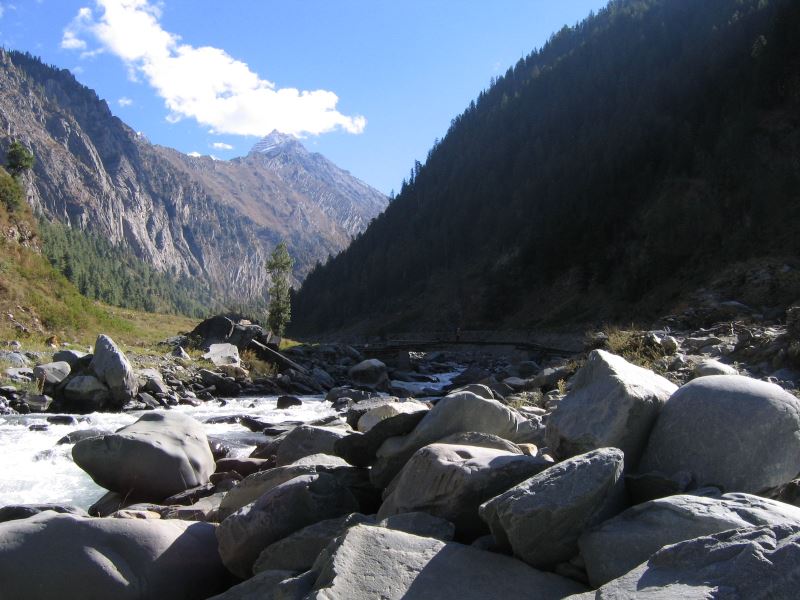
Start the trek by following a trail for two to three kms. towards Tak. Leave the Tserap River that was being followed by us up to now and start the gradual ascent to the Tak. After a long day of walking, one can enjoy a pleasant bath by the nearby stream of the camp site.

Day 5:Tak to Base of Morang La (4600 Mts.) (05 HRS.)

Today’s walk starts besides the Tserap River in the beginning, then we enter into a gorge toward Morang La (North of the River). There are good chances of spotting some wild life, comprising of herds of Bharel and Ibex. We camp at the foot of the Morang La.

Day 6:Base camp to Tahtau (4,600 Mts.) Over Morang LA (5,300 Mts.) (05-06 Hrs.)

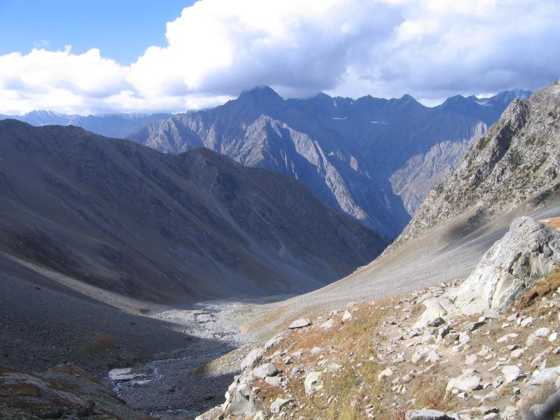
A gradual climb to the summit of Morang-la (5300 Mts.). The top offers an extensive view of the magnificent Himalayan Ranges. Further we descend into a muddy and narrow valley which is steep at the begning. Go past a beautiful plateau into the Zara-Chhu valley. The river is dry from the end of the August onwards. The Campsite at Tahtau is surrouded by the colorful rocks.

Day 7:Tahtau to Yakbu (4,500 Mts.) 6 Hrs.

Ever since you cross the Morang La, almost everyday you encounter different Himalayan wild life. Easy stream crossing is involved thrice a day until Yakbu. There is a small Gompa, built on the cave by the local inhabitants. A beautiful campsite by the stream.

Day 8:Yakbu to Lungmoche (4550 Mts.) (Trek 05-06 Hrs.)

Follow the large Zara Chhu valley, an easy river crossing in involved, and we get past the village of Sangtha from where a left-hand valley is followed up on its Right Bank to the summer settlement of Lungmoche. This nomad village of yak-wool tents sometimes spreads over a large area and is very picturesque in the late evenings with the smoke from the cooking fires floating above the tents. We camp at the foot of the Yar La. Sangtha is connected by the road from Pang.

Day 9:Lungmoche to Dat (4200 Mts.) (Trek 06-07Hrs.)

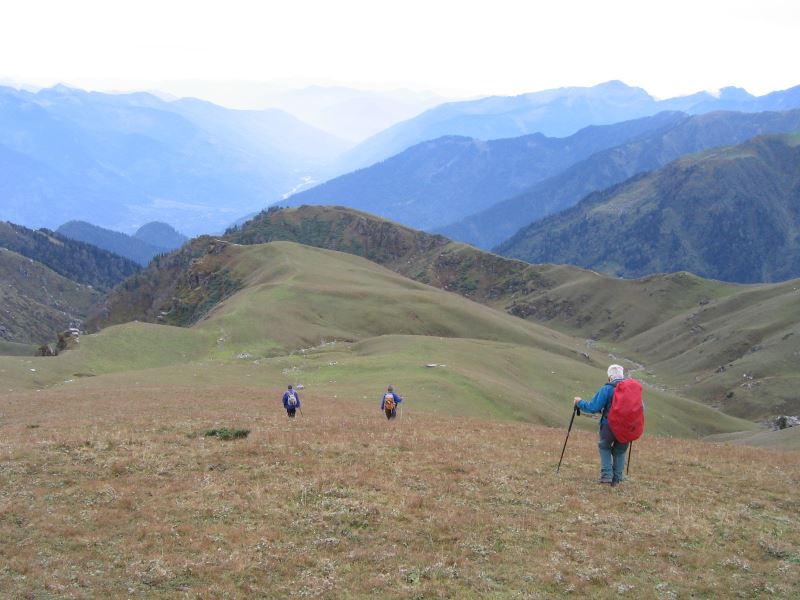
A gradual 2 hrs ascent to the top of the Yar La (16,236 ft / 4,950 Mts), reveals fantastic views of the Rupshu. The high plateau is clearly visible with range upon rang of brown, barren hills and some snow covered mountains in the far distance. Make a short descent from the pass to a point where water is available. It is advisable to fill the bottles here as the next few hours are very dry. A further descent to join the Dat Chu valley. Turn right to follow the valley up to Dango on a good track and further on the village of Dat, which has a small gompa.

Day 10:Dat to Sorra (4600 Mts.) (Trek 06 Hrs.)

Follow the very broad valley of Dat which is inhabited throughout the year, past mani walls amd chortens in to a narrowing valley. The stream meets the Sorra chu to form the Chang chu or Khurna, a major tributary of the Zanskar river. Follow the Sorra chu in to a valley with wonderful woody gorges up to the summer village of Sorra. One can see the ruins of an old castle of the King of the Valley. The mountains and barley fields surround campsite of Sorra.

Day 11:Sorra to Langthang Chu cmap (4500 Mts.) (Trek 06 Hrs.)

Leaving the campsite of Sorra walk for a long 3 –4 hrs gradual stretch. From here the left-hand valley leads over the Rubering La to Zangla, the ancient capital of Zanskar. Leaving the valley floor a short steep climb to the right up to the west ridge leads to the Zalung Karpo La (16,728 ft / 5,100 mts) which affords good views of mountains towards the north. Descend into a left-hand valley of the Langtang chu which has several good campsite to choose from.

Day 12:Langtang Chu camp to Hankar (3963 Mts.) (Trek 08-09 Hrs.)

Follow the river downstream onto green fields, past many shepherd settlements. Today’s walk involves several river crossings and eventually comes out at the twin villages of Hankar where the Langtang chu joins the Markha river. Between the two villages is a ruined fort, worth exploring. The walls of the fort climb steeply up a crag to a lookout tower.

Day 13:Hankar to Nimaling (4,700 Mts.) (Trek 08 Hrs.)

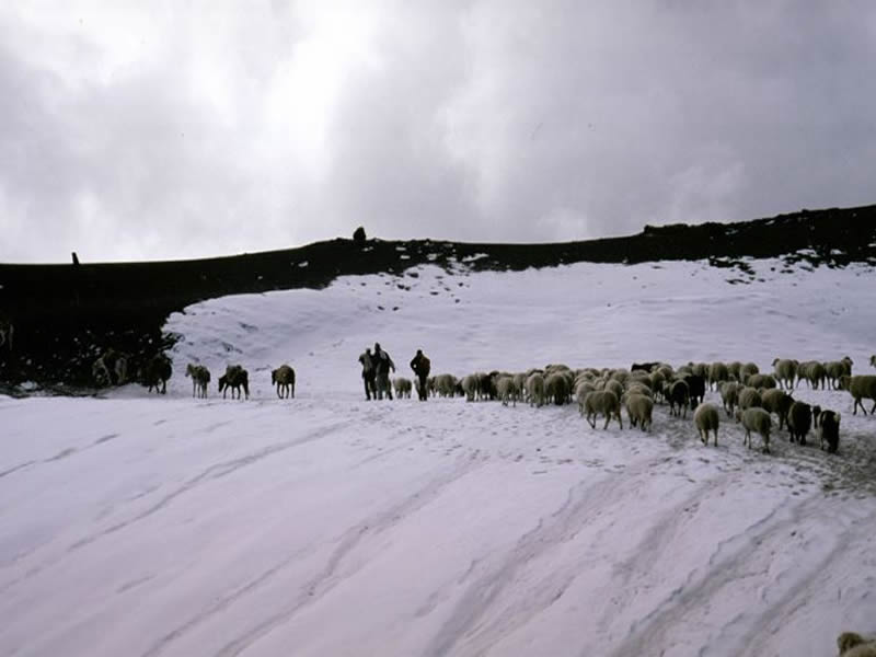
From Hankar the trail climbs steadily up the now narrow valley, past small village. The Nimaling plain is a braid, undulating meadow which slopes upwards to the base of the ice-clad Kang Yatse which dominate the area. Nimaling with tiny ponds and rivulets flowing all over its meadows provides pastures in the summer for an astonishing number of animals – yaks, dzos, sheep, goats, horses – not only from the Markha but from the villages all around. Himalayan marmots and white tailed hares are seen in plenty and it is not unusual to sight an occasional blue-sheep or wolf.

Day 14:Nimaling - Rest day

An opportunity to relax or wander around the plain. An alternative is a walk to the base of Kang Yatse.

Day 15:Nimaling to Sumdo (Trek 07-08 Hrs.)

Crossing to the north of the Markha, begin the climb to Kangmaru La (17,409 ft / 5,274 mts) with its wonderful views from the top. The trail descends steeply to the head of the Martselang valley, past the sulpher springs of Chyuskarmo and follows the Martselang stream to the village of sumdo or Shang – Sumdo, at the confluence of the shang and Martselang nalas, where camp is set for the night.

Day 16:Sumdo to Martselang (Trek ¾ Hrs & Drive 02 Hrs.)

An easy descent mainly along the true left bank of the Martselang. To where it broadens in to the valley of the Indus at the village of Martselang. A side trip of 2-3 Hrs could be made to Hemis gompa, the richest and most important monastery in Ladakh. Transport will be waiting at Martselang for the 2-hrs drive to Leh.

Day 17:Leh

Day 18:Leh – Delhi Flight

Photos
Things to know

What to bring for the trek
Good Warm internal clothing (woolen and fleece, thermals), water proof and wind proof clothing, Comfortable hiking boots with good resistance against the snow and water with a good grip, haversack,  sandals, walking sticks, gaiters, woolen/tennis socks (quite a few pairs) and stocking, gloves, cap, sunglasses (very important), Sunscreen lotion, day sack, camera and binocular (OPTIONAL),  water bottle, torch and batteries, though the water is very clean and pure and we do provide boiled water once you are in trek  still in order to be extra careful you can get few chlorine pills as mountain water is supposed to be hard.

Climate
Day temperature in the sun is pleasant but windy but nights are cold. The temp at night in rain and snow can really go down; sometimes below zero so you have to be well prepared.

Trek logistics/Services provided during the trek
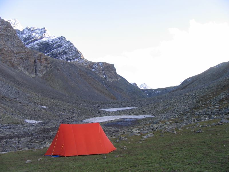
Accommodation in two men tent (high altitude alpine tents of good quality), heavy foam pad mattress, sleeping bags, Breakfast/tea, all meals (good quality food), services of experienced guide and cook, all the camping equipment, utensils and crockery, kitchen tent, and toilet tent, ponies or porters, adequate medical kit, Transportation during the Trek.

Note
It is also possible that a route change may become necessary due to weather, inaccessibility through the mountain passes due to heavy snow, condition of the trail and physical fitness of the clients.

8 travellers are considering this tour right now!